ADERSIM is at the forefront of drone technology applications in emergency management, environmental monitoring, and advanced research. Our drone program offers training, operational support, and cutting-edge aerial data collection capabilities. We leverage drones for disaster response, infrastructure inspection, thermal mapping, and more, ensuring innovation in research and practical applications.
ADERSIM provides its drone capabilities for research, training, and operations. Our advanced drone fleet supports projects in environmental monitoring, emergency management, infrastructure assessment, and more. To inquire about our drone services, please contact Professor Ali Asgary at asgary@yorku.ca or Mahbod Aarabi at maarabi@yorku.ca.
Drone Fleet and Capabilities
ADERSIM has a diverse fleet of drones equipped for various applications:
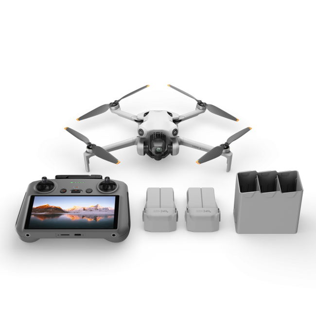
DJI Mini Pro 3
- Portable and user-friendly
- Strong camera performance for aerial inspections and environmental monitoring
- Suitable for entry-level drone training

DJI Mini Pro 4
- Compact and lightweight
- High-resolution imagery and video capabilities
- Ideal for quick aerial surveys and educational purposes
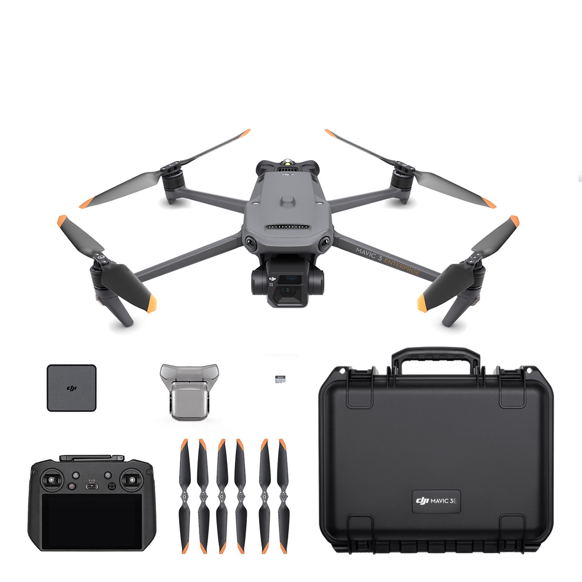
DJI Mavic 3 Enterprise
- High-resolution imaging and mapping capabilities
- Advanced safety features for urban and industrial inspections
- Suitable for search and rescue, mapping, and infrastructure assessments
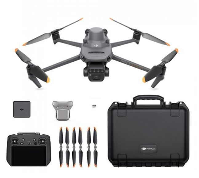
DJI Mavic 3 Multispectral
- Equipped with multispectral sensors for vegetation and land analysis
- Ideal for environmental monitoring, precision agriculture, and forestry applications
- Provides detailed data for GIS-based research
DJI Matrice 30 Thermal
- Thermal and optical camera for night operations and low-visibility conditions
- Used in search and rescue, firefighting, and disaster response
- Weather-resistant design for operations in extreme conditions
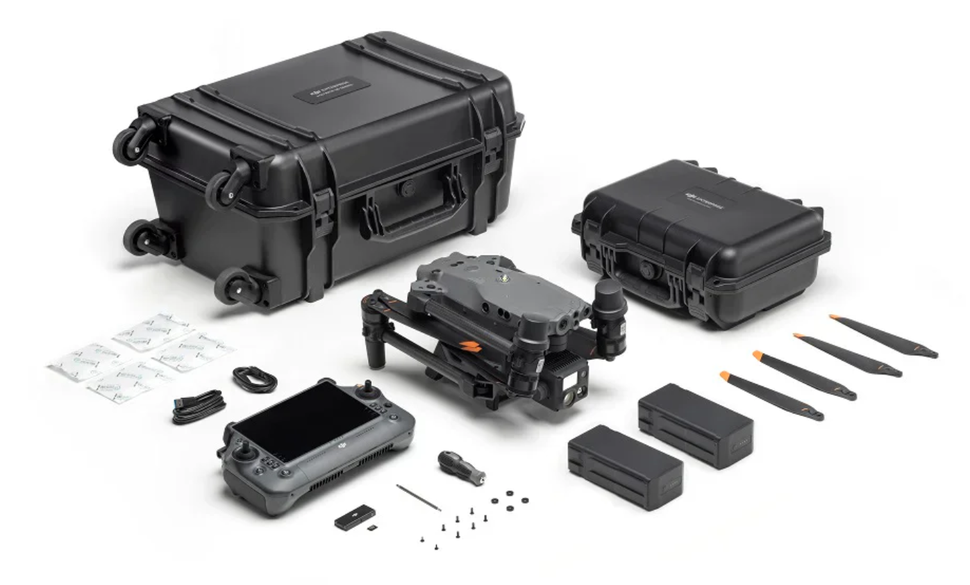
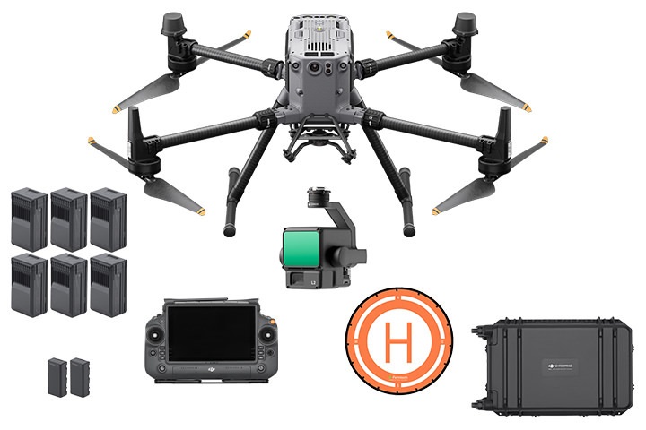
DJI Matrice 350K
- Heavy-duty drone with high payload capacity
- Advanced imaging, thermal, and LiDAR integration capabilities
- Suitable for large-scale emergency response, environmental research, and infrastructure assessments
Drone-Based Projects
ADERSIM has successfully integrated drone technology into multiple research and operational projects, including:
Ongoing projects:
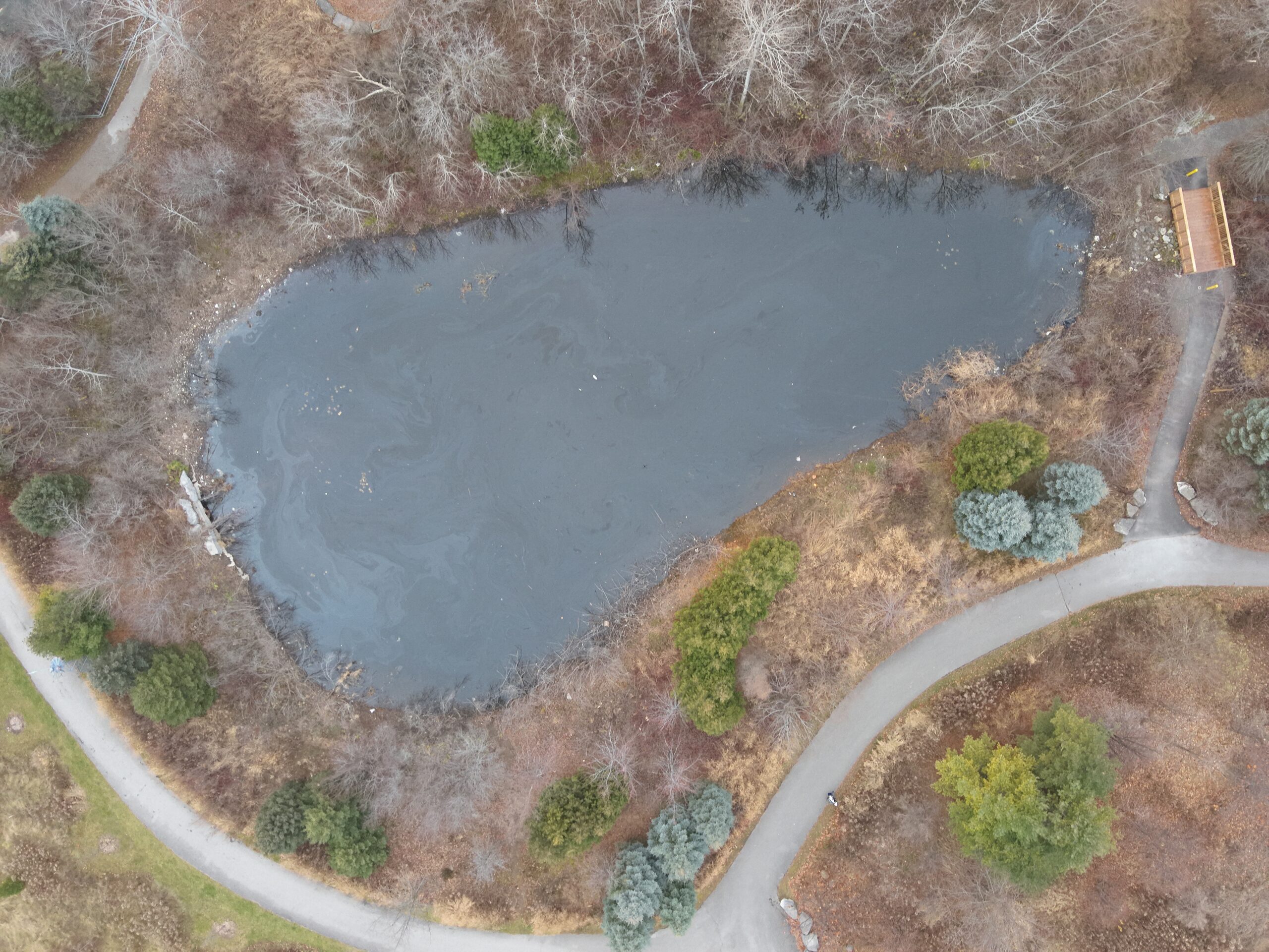
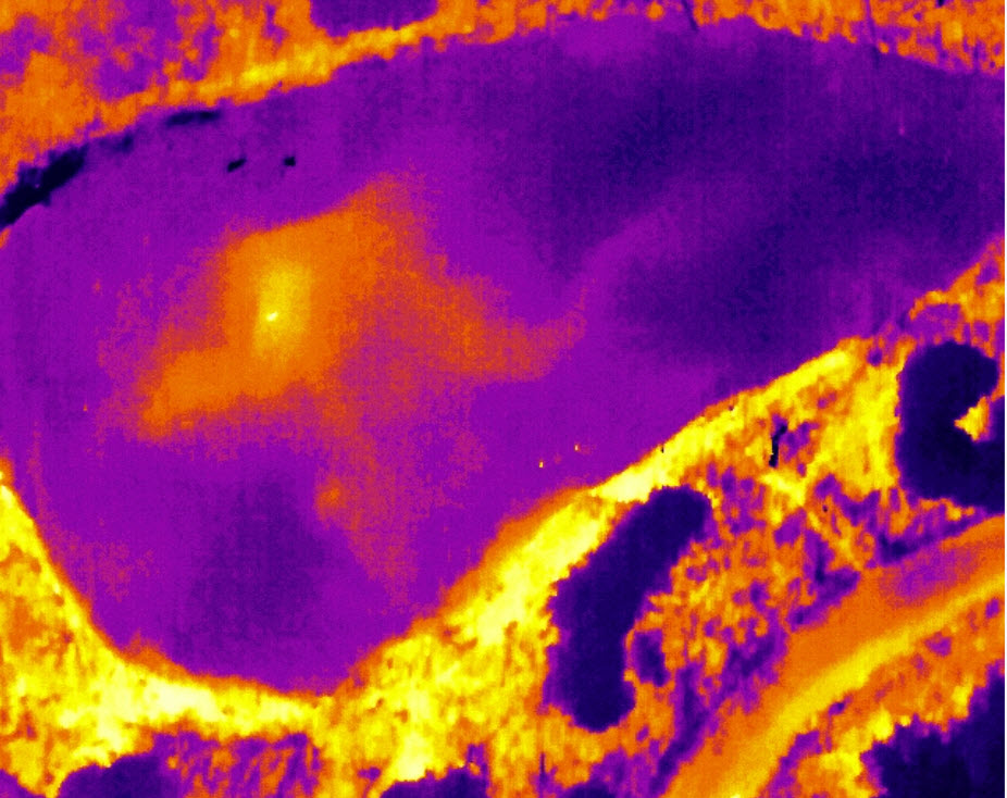
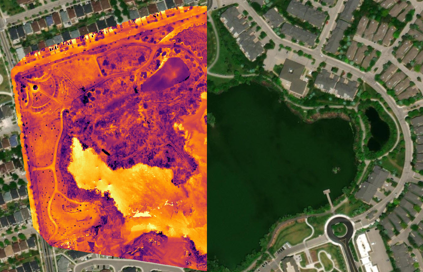
Environmental Monitoring at Swan Lake: Utilizing multispectral and thermal imaging to map vegetation, monitor water levels, and identify pollution sources. The DJI Matrice 350K is used for water sampling to enhance data collection and analysis.
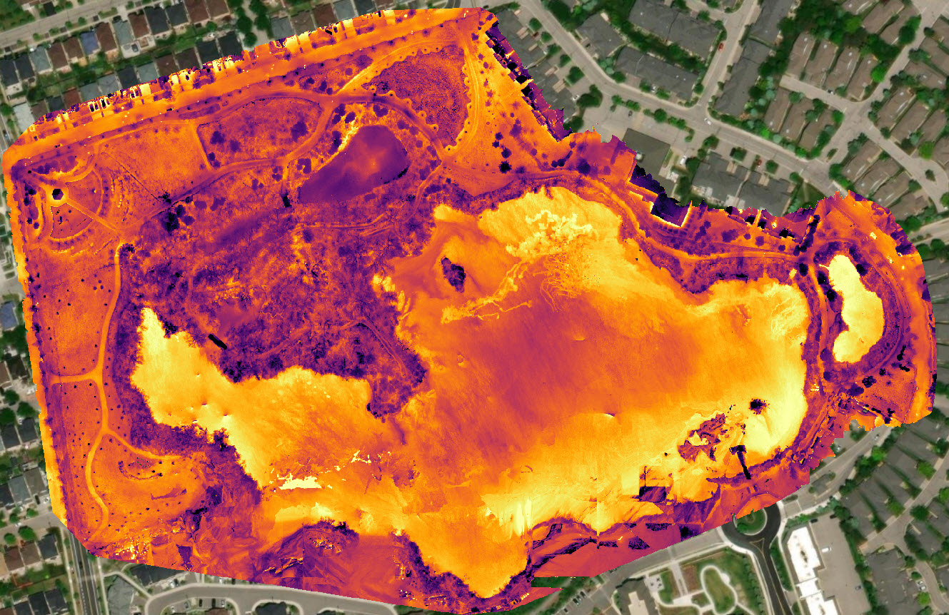
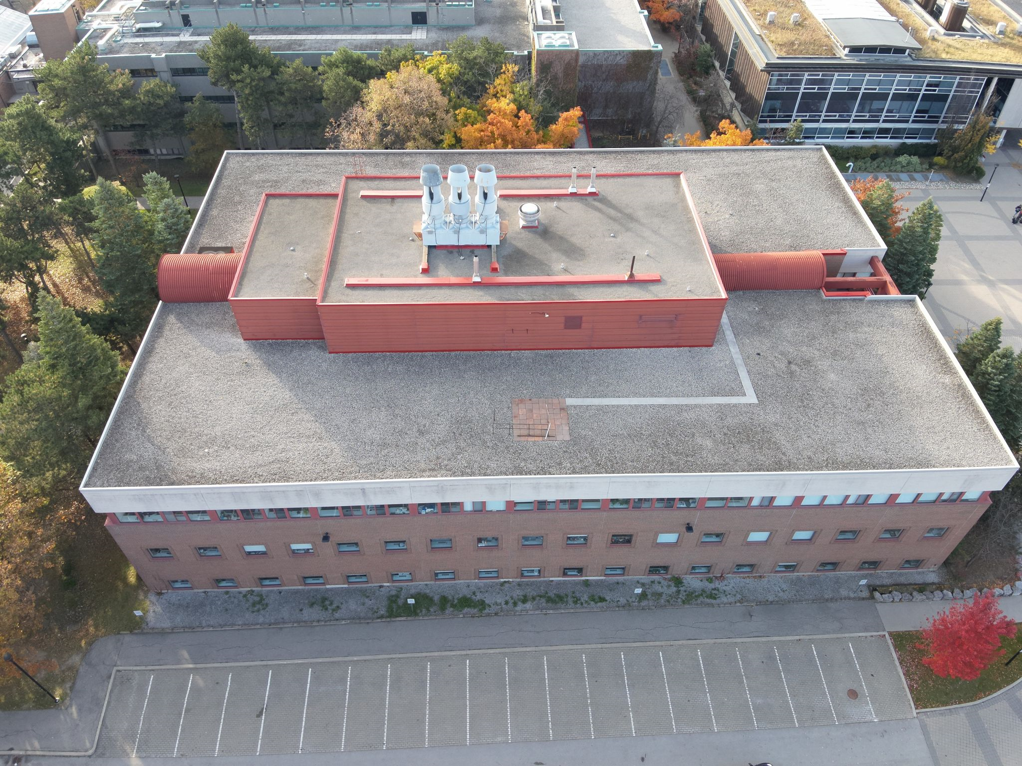
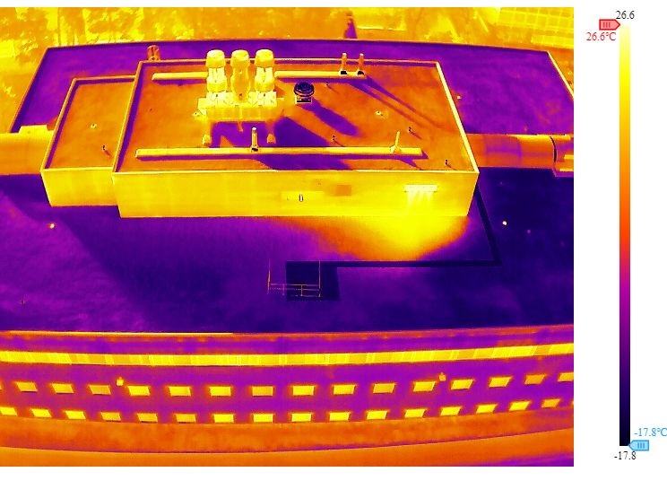
Keele Campus Thermal Mapping: Utilizing drone-based thermal imaging to assess heat distribution in buildings across York University’s Keele Campus. This project focuses on identifying energy inefficiencies, detecting heat loss, and supporting sustainable building management initiatives.
Future projects:
- Infrastructure Inspections: Utilizing drones for bridge, road, and building assessments to enhance safety and maintenance planning.
- Wildfire Monitoring and Response: Using thermal imaging and aerial surveillance to assess fire spread and support emergency responders.
- Flood Risk Mapping: Aerial data collection to analyze flood-prone areas and inform mitigation strategies.
- Search and Rescue Operations: Deploying drones to locate missing persons in difficult terrain with thermal and optical sensors.
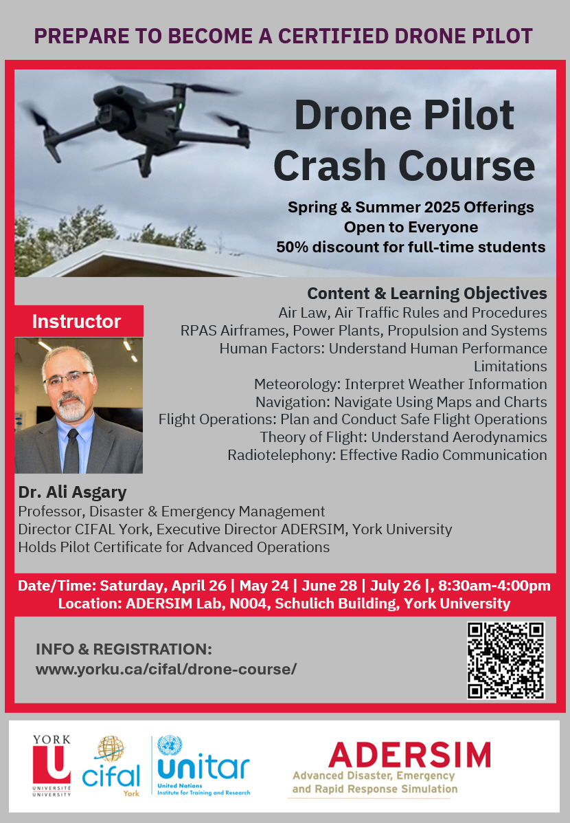
Drone Course Offered
- Use of drone in industry, government, non-governmental operations, education, research and training is growing. Understanding and ability to operate drones for such purposes is becoming an important skill that everyone can have in its skillset. ADERSIM is offering one-day condensed course ideal for those who want to acquire essential knowledge of Remotely Piloted Aircraft Systems (RPAS) or drone and get their basic RPAS certificate from Transport Canada and start using drone. The course is offered from April to July on monthly basis and covers required knowledge that basic certificate holders must have.
ADERSIM continues to innovate in the field of drone technology, providing advanced research capabilities, training, and operational support. By integrating drone applications in emergency management and environmental science, we contribute to safer and more resilient communities.